LBS News
Top Ten Haunted Historical Locations Tracked Down By Field Trip
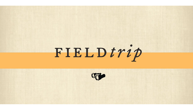
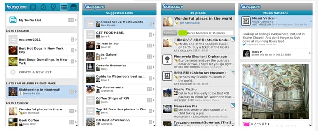
Halloween may be tomorrow, but tonight is Devil’s Night! To keep it creepy, Google’s Field Trip app has presented us with the top ten haunted historical locations – to visit or avoid. Field Trip is a pretty great application to discover new things, be it historical locations, restaurants, and more. The location-based application will notify…